
New research published today in the Journal of Archaeological Science aims to alleviate labour-intensive archaeological field surveying by combining machine learning and high-resolution drone imagery.
Intensive pedestrian survey is one of the most widespread techniques used for the location of archaeological sites. Teams of archaeologists walk across a large area, recording and collecting items of material culture dispersed over the surface, which commonly consist of pottery fragments known as ‘potsherds’.
Co-author Dr Hector A. Orengo of the Catalan Institute of Classical Archaeology said, “The distribution of potsherds is a good indication of the intensity of human occupation and the location of archaeological sites, but traditional survey methods can be quite costly and labour-intensive.”
“Some of our projects in the Mediterranean involved the collection and recording of large quantities of pottery, but a single relatively small site could take our 6-people team three days to record! Automated survey was something we used to fantasise about while in the field.”
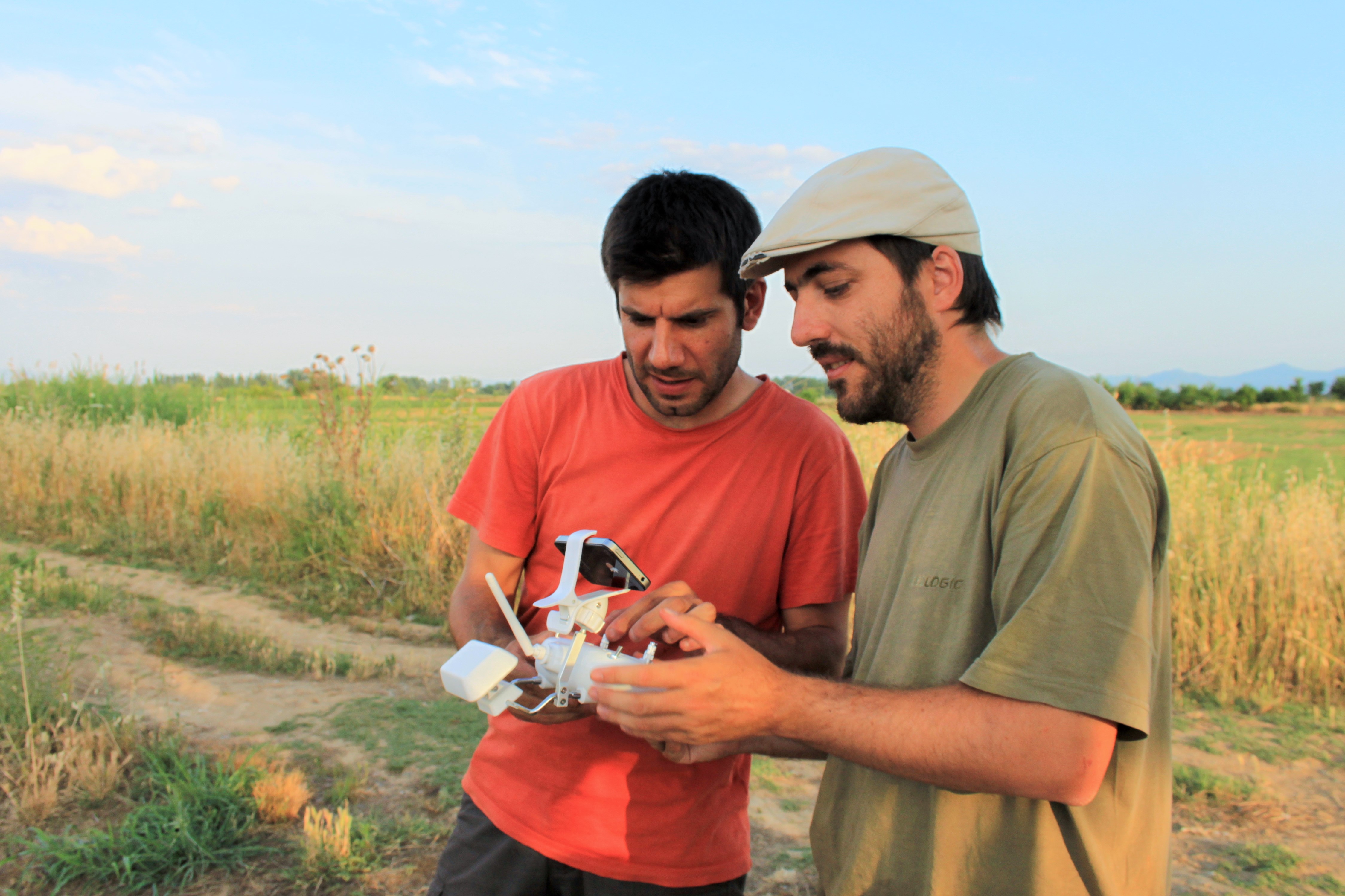
The new method consists of flying a pre-programmed drone over the area of interest taking overlapping pictures which are joined together to create a single very large high-resolution image.
A machine learning (a subfield of Artificial Intelligence) algorithm powered by Google cloud computing infrastructure then identifies and maps all ceramic fragments visible in the image. The algorithm uses colour and pixel texture to identify potsherds, but can be trained to identify different types of material culture as well.
“Under ideal circumstances this method is more accurate and faster than standard survey approaches. This is a complementary method to traditional pedestrian survey and has the potential to transform the way landscape survey is done.” adds co-author Dr Arnau Garcia-Molsosa of the McDonald Institute for Archaeological Research at the University of Cambridge.
Garcia-Molsosa continues, “The automated recording of surface material culture has enormous possibilities to contribute to a wide array of projects working on academic research and heritage management. We hope that this technique can be employed, adapted and improved by other teams so we can understand better its potential application.”
But, the method is not without its limitations.
Much like traditional fieldwalking, the new method provides better results for flat ploughsoils devoid of vegetation. The authors are now working on developing drone technologies that can better adapt to irregular terrain, avoid trees and other barriers and extend drone flight times currently available.
They are also developing new artificial intelligence-based methods to improve the algorithm detection ratio and extend its identification abilities to other types of material culture, such as lithics and metal.
Orengo concludes, “This paper is ultimately the result of our need to find a method that could help us reduce the time and funds this work required without renouncing the quality, accuracy and resolution of pedestrian survey. Now we can better invest our time on aspects of the work that require specific expertise.”
“A brave new world for archaeological survey: Automated machine learning-based potsherd detection using high-resolution drone imagery” by H.A. Orengo and A. Garcia-Molsosa is published in the Journal of Archaeological Science.


