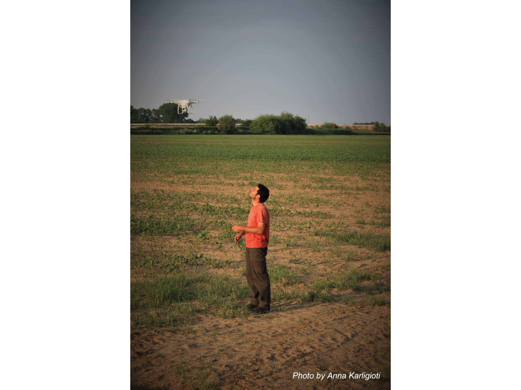

The presentation will discuss the computer-based methods applied in surface surveys in different cases of study located in the Mediterranean and the Indus basin. The work is part of a research program set up by a group of researchers from the University of Cambridge and the Catalan Institute of Classical Archaeology aiming at the development of automated workflows for the large-scale detection of archaeological sites in distinct ecological settings.
Computer-assisted methods have been tested for both remote exploratory analysis and in-situ fieldwork assistance. The efforts have focussed on: 1) the development of a global site detection algorithm that uses free and open access satellite imagery; and 2) a drone-based survey method for the automated classification of scattered sherds. Preliminary results show the potential of multi-scalar and multi-source data integration in Machine Learning algorithms, coupled together with more traditional mapping strategies.
Read more about Arnau Garcia-Molsosa work at his University of Cambridge profile.


