Arcadia awards £10.3 million for the continuation of two major projects mapping endangered archaeological heritage in South Asia and sub-Saharan Africa

The McDonald Institute for Archaeological Research and the Department of Archaeology, University of Cambridge, are delighted to announce that the Arcadia charitable foundation has awarded grants totalling £10.3 million to continue the work of the Mapping Africa’s Endangered Archaeological Sites and Monuments (MAEASaM) project and the Mapping Archaeological Heritage in South Asia (MAHSA) project.
"We are delighted that Arcadia has decided to continue funding these two important projects. MAEASaM and MAHSA are outstanding examples of the internationally collaborative research carried out at the McDonald Institute for Archaeological Research."
Prof Cyprian Broodbank, Disney Professor of Archaeology, Director, McDonald Institute for Archaeological Research


Mapping Africa’s Endangered Archaeological Sites and Monuments
Archaeological sites and monuments around the world are increasingly threatened by human activities and the impacts of climate change. These pressures are especially severe in sub-Saharan Africa, where local heritage agencies are often short-staffed and under-resourced; where existing sites and monuments registers are often incompletely digitised; and where many sites are not yet documented and large areas remain archaeologically under-studied. Alongside the intensity of natural and human threats, these factors combine to make the implementation of planning controls, impact assessments, mitigation measures and long-term monitoring especially challenging.
MAEASaM aims to use remote sensing, records-based research and archaeological surveys to identify and document endangered archaeological heritage sites across Africa. The core team is made up individuals at the University of Cambridge, British Institute in Eastern Africa, Université Cheikh Anta Diop de Dakar, University College London, University of York and University of the Witwatersrand.
In its first phase, the project has enhanced the opportunities and abilities of heritage professionals in Africa, supporting them to map, manage and monitor the diverse archaeological resources of the continent. The team assessed vast swathes of land using historical maps and satellite imagery, documenting over 67,000 archaeological sites and monuments. In addition, the team created over 31,000 digital records of legacy sites from almost a century's worth of archaeological records. These sites were then confirmed using a series of verification campaigns on the ground. Throughout the project, the team have provided in-person and and online training opportunities and workshops.
Mapping Archaeological Heritage in South Asia
Pakistan and India are countries extremely rich in archaeological and cultural heritage sites, which span in date from the earliest villages, through several phases of urbanism, the rise and fall of numerous historical states and empires, and up to the colonial and modern periods. Today, many areas of both countries are densely occupied and undergoing rapid development in both agricultural and urban spheres. While archaeological and cultural heritage sites and monuments in Pakistan and India are protected in principle, in practice they are often viewed as impediments and obstacles by people on the ground. There is also a lack of comprehensive information about the number, size and distribution of archaeological and heritage sites, which hampers efforts to document and protect them. As a result, many sites are at risk, typically from factors including erosion, looting, and perhaps most significantly large-scale development.
MAHSA aims to document the endangered archaeology and cultural heritage of the Indus River Basin and the surrounding areas and publish this information in an Open Access Arches geospatial database. The project has a large team based in Cambridge and partnerships and collaborations with institutions in Spain, Pakistan and India.
In its first phase, the team have georeferenced over 1,300 historic Survey of India map sheets, covering over 890,000km2. MAHSA has also developed and deployed the publicly available Arches database and has produced seven Resource models. The team has created a machine learning algorithm for the detection of a variety of mounds in historic maps and records. They have gone on to ground-truth these in a series of documentation and training fieldwork expeditions.
"We are grateful to the support of Arcadia, without whom these heritage documentation projects would not be possible. MAHSA and MAEASaM provide fantastic opportunities for PhD students and postdocs in our community, as well as documentation training for collaborative partners in the Global South. We look forward to what the projects will go on to achieve over the next five years, especially after an incredibly successful first phase."
Dr Tamsin O'Connell, Head of the Department of Archaeology


What next for MAEASaM?
MAEASaM has been awarded a further £5.7 million to continue the project for the next five years.
In addition to continuing the important work from Phase 1, working across Zimbabwe, Tanzania, the Sudan, Senegal, Mali, Kenya, Ethiopia and Botswana, the continued funding will allow the project to expand. This means the project will go on to include the Democratic Republic of Congo, Gambia and Mozambique.
The team will go on to develop open-source monitoring protocols and tools to integrate remote sensing, spatial analysis and rapid field-based assessment, providing access to heritage practitioners with no specialist background in GIS.
MAEASaM will create a model for sustainable deployment of digital management of archaeological sites and monuments, linking this with enhanced provision of technical training for the project’s African partners.
Find out more about the project by reading their blog on the continued funding.
What next for MAHSA?
MAHSA has been awarded a further £4.6 million to continue the project for the next five years.
During the second and final phase of funding from Arcadia, the MAHSA project will continue to document the endangered archaeology and cultural heritage of the Indus River Basin and the surrounding areas, and will expand its scope to include the Ganges River Basin in north India, Baluchistan in western Pakistan, and coastal areas in both Pakistan and India.
The team will continue with their programme of documenting archaeological heritage using a variety of different data sources including published legacy data, historic maps, remote sensing and automated site detection methods.
They will ensure that the Arches database is usable by both the general public and specialists, and plan to refine the methods for assessing preservation of and risk to endangered archaeological sites, and engage in stakeholder consultation to aid policy implementation.
Find out more about the project by checking out their website.
Both projects will continue to collaborate with local stakeholders, particularly in offering training in new methods of site detection, recording of sites on the ground, and documenting them using the Open Access Arches geospatial database platform.
Both MAHSA and MAEASaM are working towards a sustainable future for heritage documentation and management.
I am truly delighted by the news of this award and would like to take this opportunity to thank Arcadia for their continuing support. As well as allowing expansion of the project to cover other countries in sub-Saharan Africa, this further five years of funding will enable the creation of a repository of digital assets and a sustainable system for more rapidly and easily assessing, researching, monitoring and managing archaeological heritage, accessible to heritage professionals, researchers and students across the continent.
I am extremely proud of what the collaborative MAHSA team have achieved during Phase 1, and the support from Arcadia for Phase 2 will allow us to continue making a transformational contribution to the documentation and understanding of the archaeological heritage of Pakistan and India. We are clarifying existing archaeological site locations datasets and collecting new ones at a scale never before attempted in South Asia.
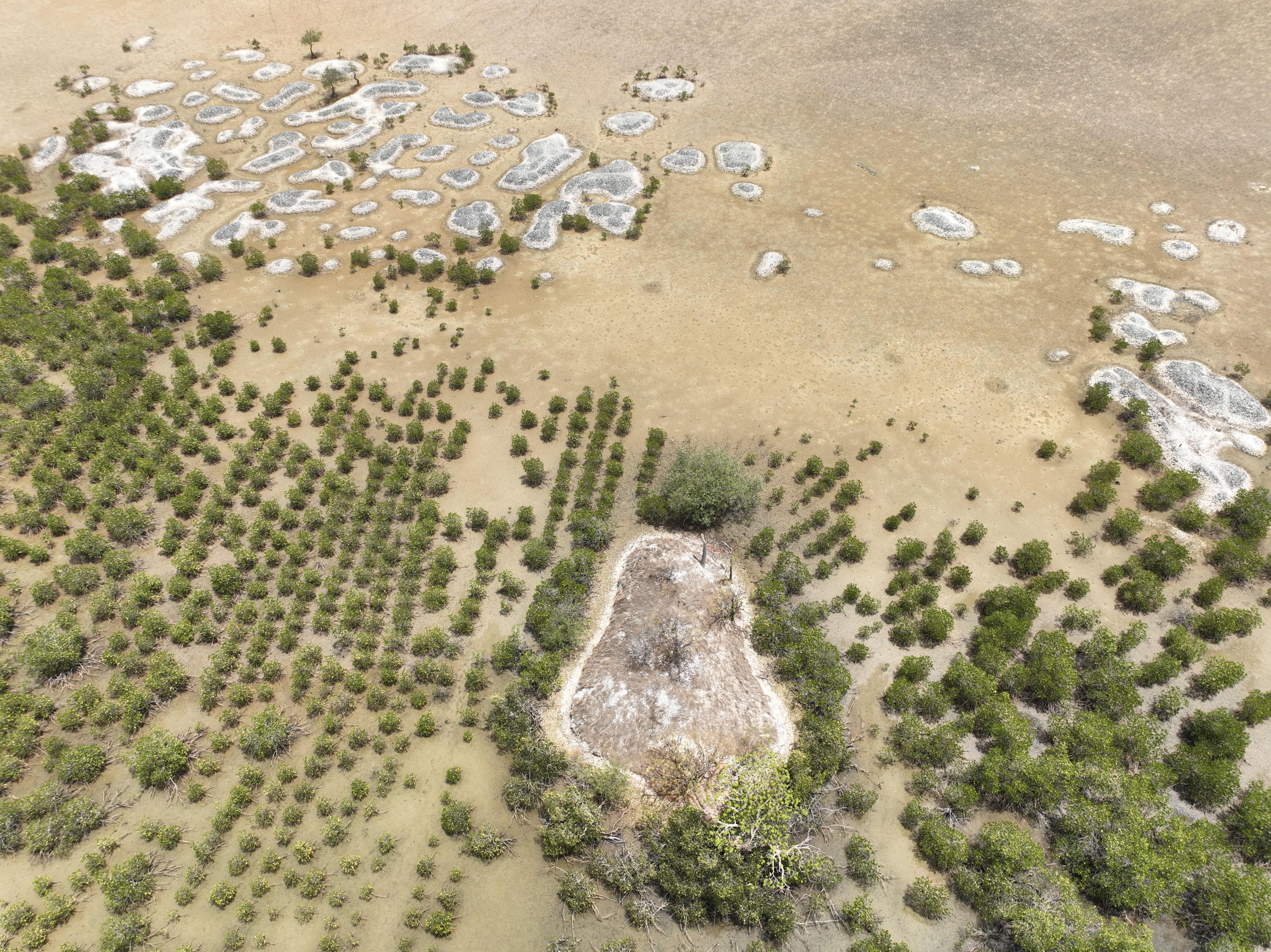
Image credit: MAEASaM Project
Image credit: MAEASaM Project
Image credit: MAHSA Project
Image credit: MAHSA Project
Image credit: MAEASaM Project
Image credit: MAEASaM Project
Image credit: MAHSA Project
Image credit: MAHSA Project
This story is collaboratively authored by the teams from MAHSA, MAEASaM and the Outreach and Communications Co-ordinator at the Department of Archaeology, University of Cambridge.
Please see the full story on the main University news site.
Arcadia is a charitable foundation that works to protect nature, preserve cultural heritage and promote open access to knowledge. Since 2002 Arcadia has awarded more than $1.2 billion to organisations around the world.
The MAHSA team would like to thank the Isaac Newton Trust, which awarded the project some additional funding in early 2024.

Published 20 August 2024
The text in this work is licensed under a Creative Commons Attribution 4.0 International License


